LAS ROSAS
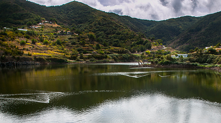
This circular route starts at the fork in the GR-132 trail, on a contention wall of the Amalahuigue dam. It continues for about 400 metres along the branch of GR-132 that goes to Vallehermoso beach, until it reaches Degollada del Toril. From there it descends toward the ravine along a stepped path toward the Las Rosas hamlet. It crosses the riverbed and goes up the opposite slope along the Cabezo de Hormiga trail. There it again connects with GR-132, crosses a stand of monteverde and continues until it returns to the starting point.
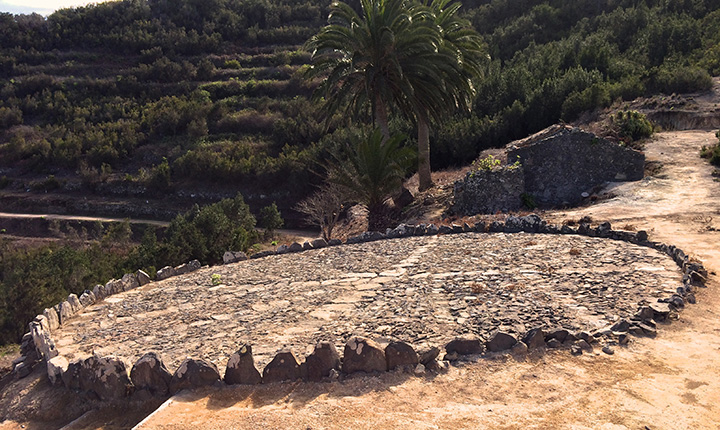
Throughout the route we can see many elements from the area’s agricultural past, along with some excellent panoramas of Las Rosas valley. There was once a great deal of grain production, mainly wheat, barley and rye, as well as legumes. Livestock was also kept there to supply milk, cheese, meet and manure for fertilizer. With the decline of agricultural activity, many plots of land have been recolonized by mountain forest, known as monteverde. Vestiges of that era include agricultural terraces, grain threshing floors (80 have been identified, of which 69 can be recovered) and the houses where the farmers lived.


